
Tasmania Tourism Interactive Map - AR - Low Poly
Interactive Tasmania Map Mobile Friendly
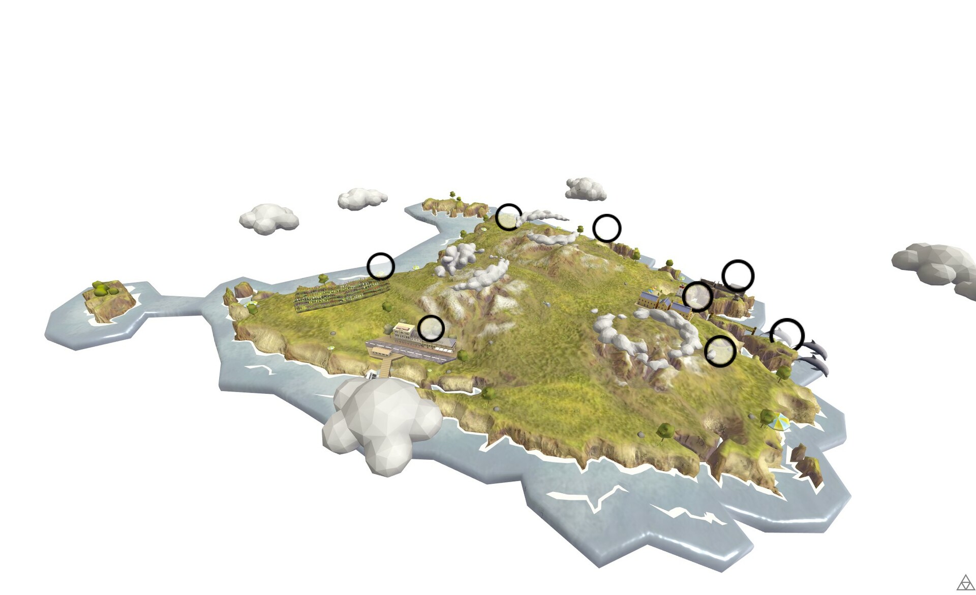
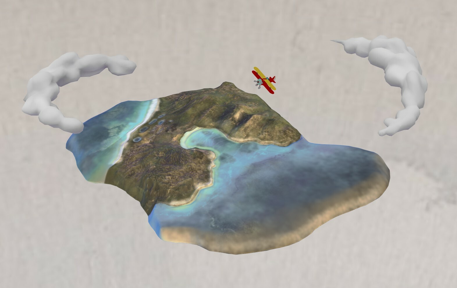
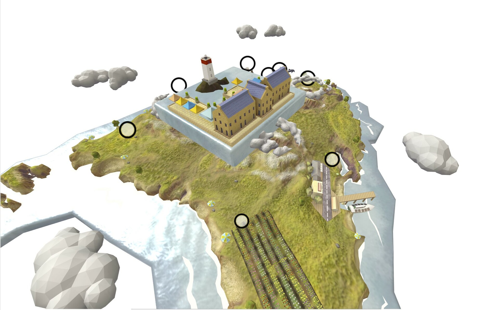
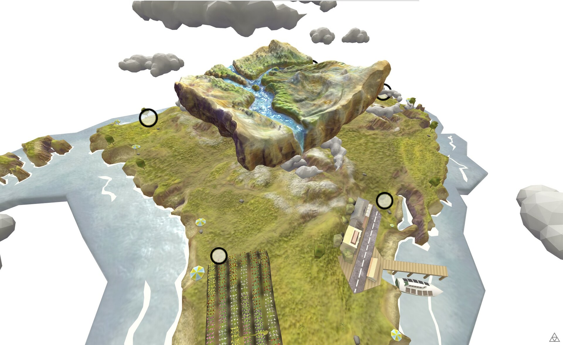
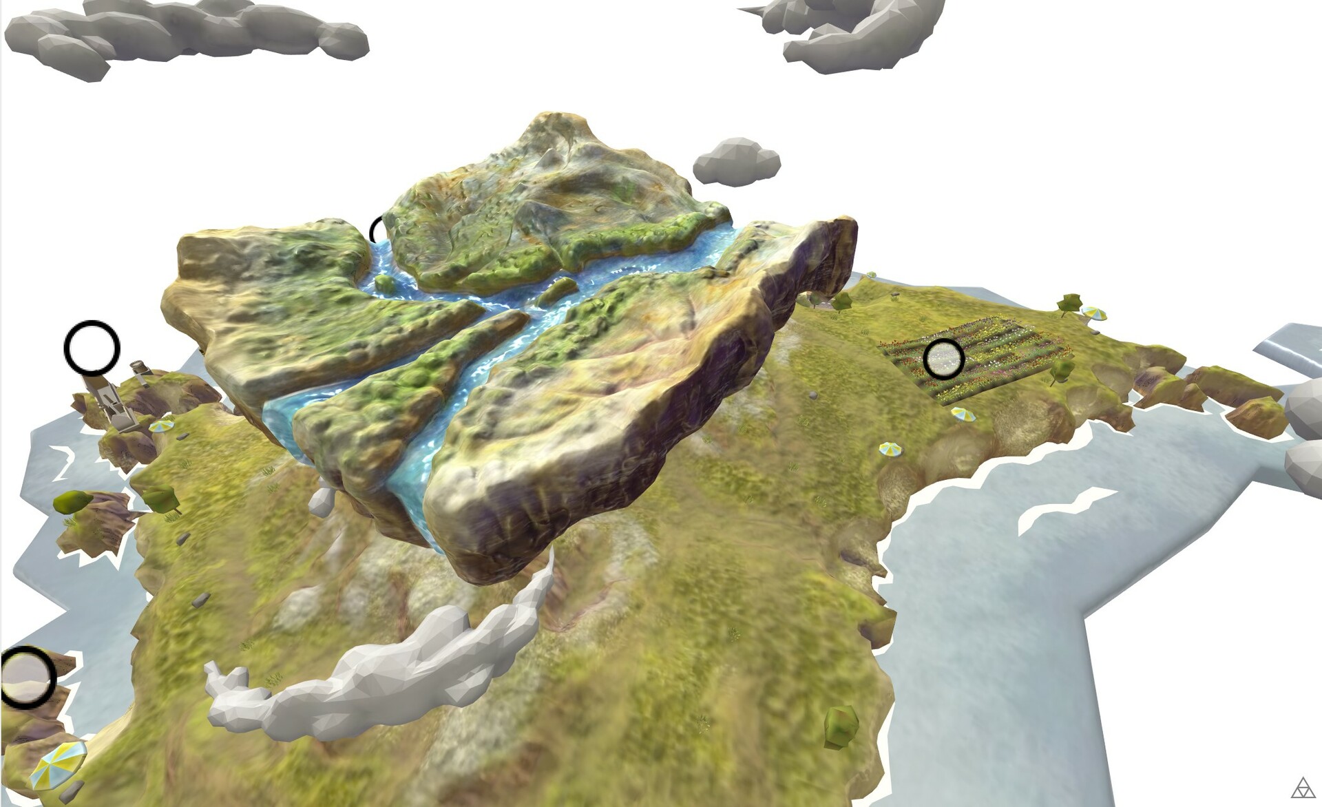
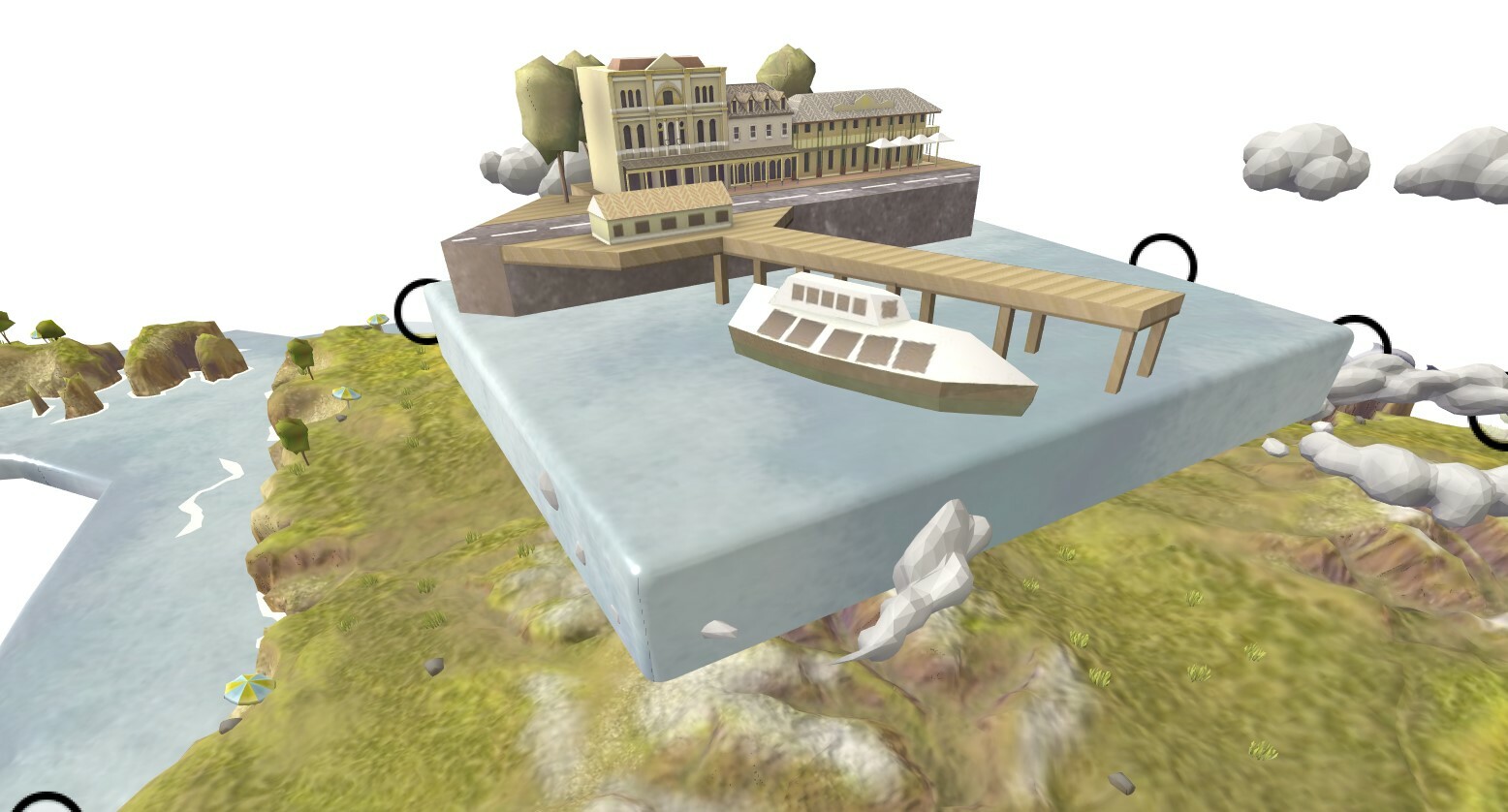
Interactive 3D Map for the Plattar Engine for Mobile and Web.
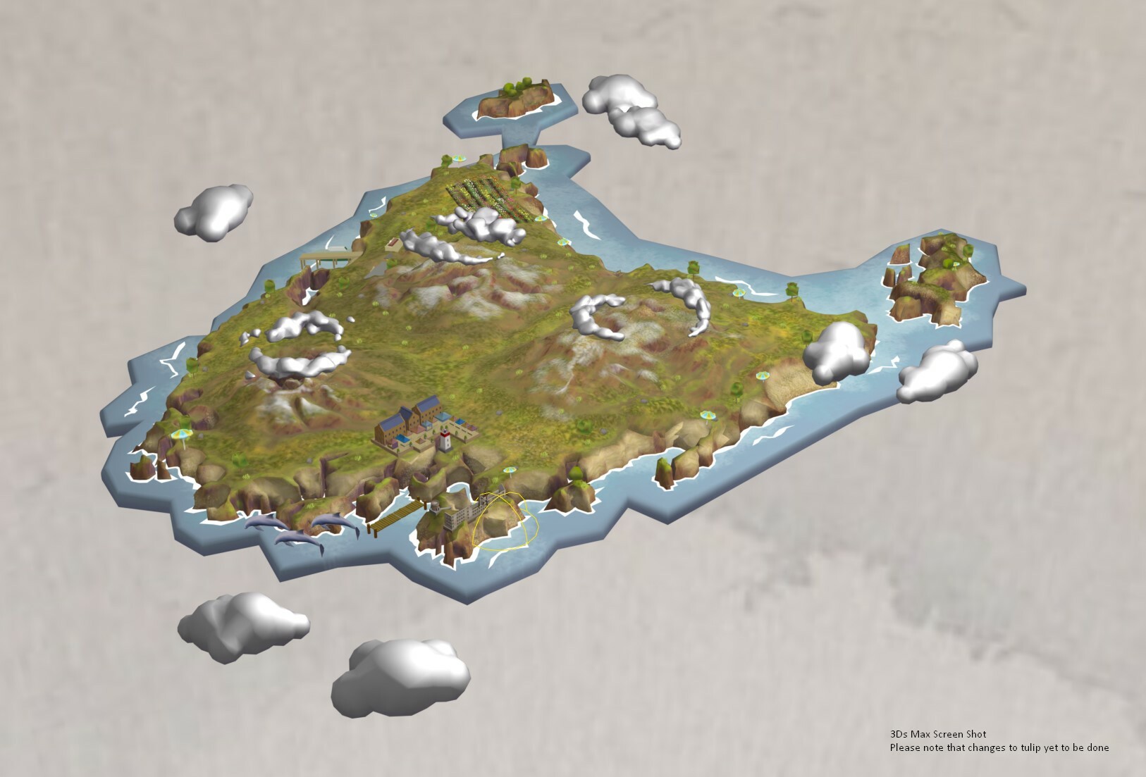
Goal was to introduce as much visual content while using the lowest amount of triangulation and textures.
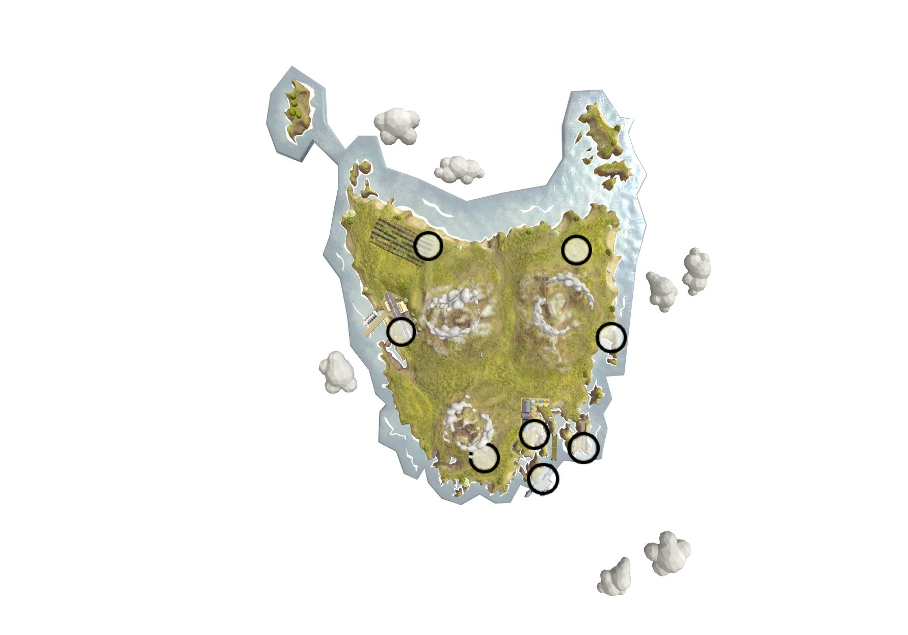
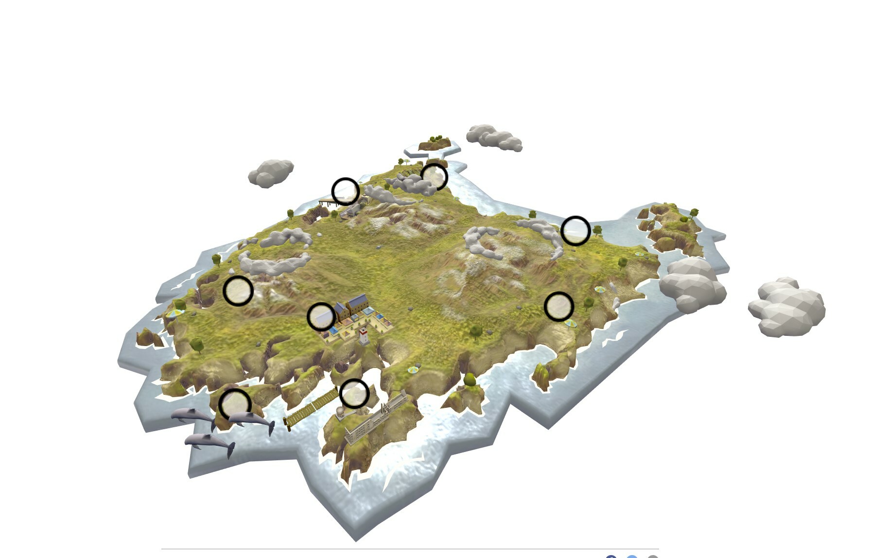
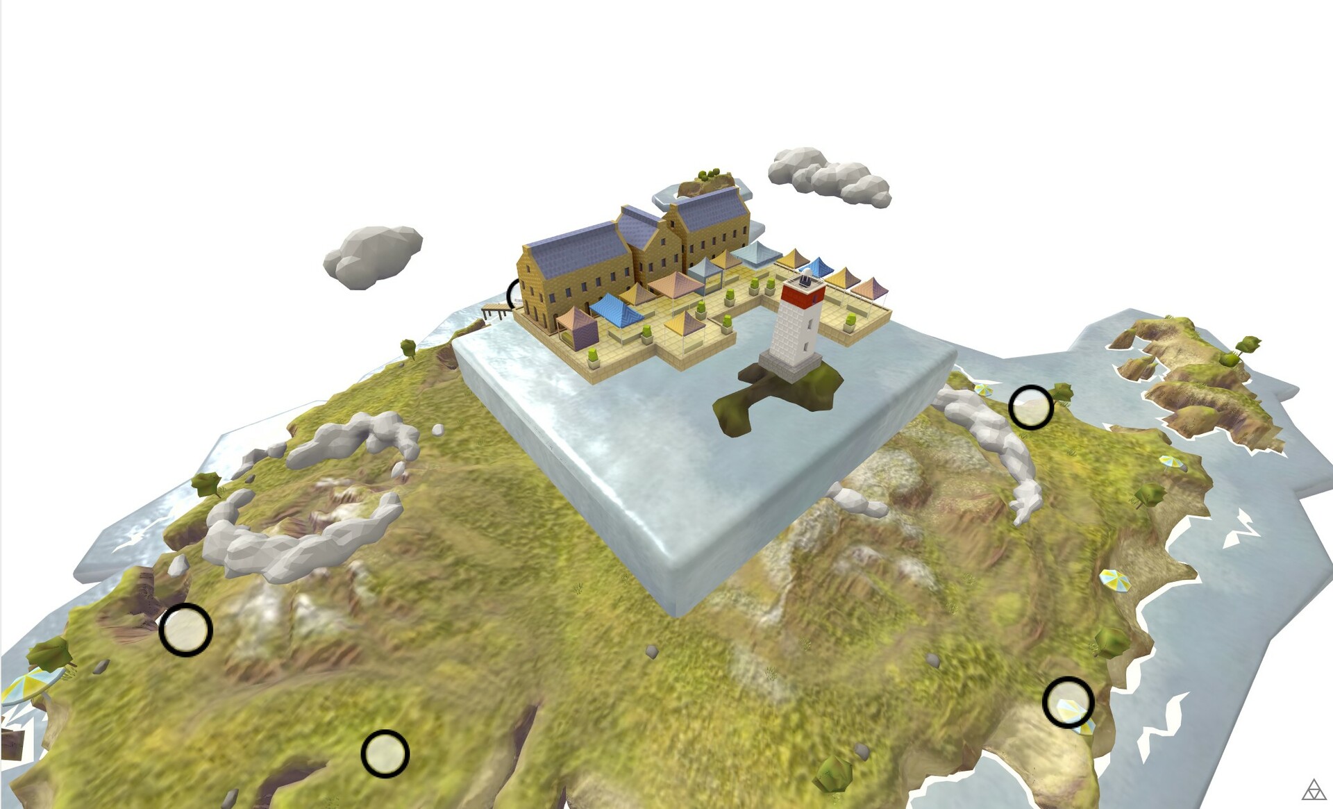
The Project has 8 mini environments that highlight the different locations of Tasmania.
I did most of the work in terms of Art Direction, 3D modeling, and Texturing.
I took the opportunity in this project to find methods of extracting vertex data into textures and learning Unfold 3D to use in new upcoming projects.
METHODOLOGY
Creating proof of concept and a vision
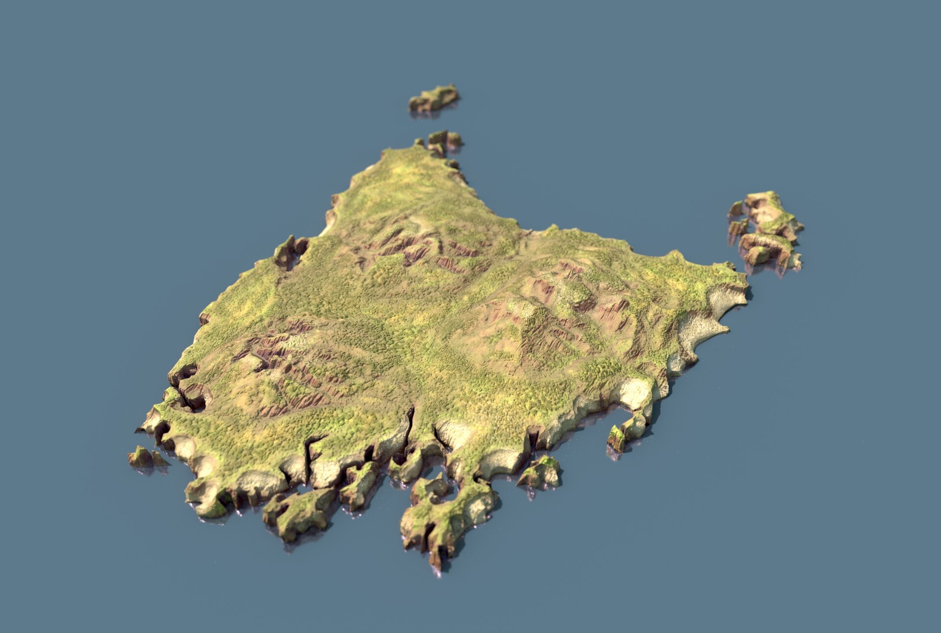
Outlining the map of Tasmania and sculpting the terrain in Zbrush
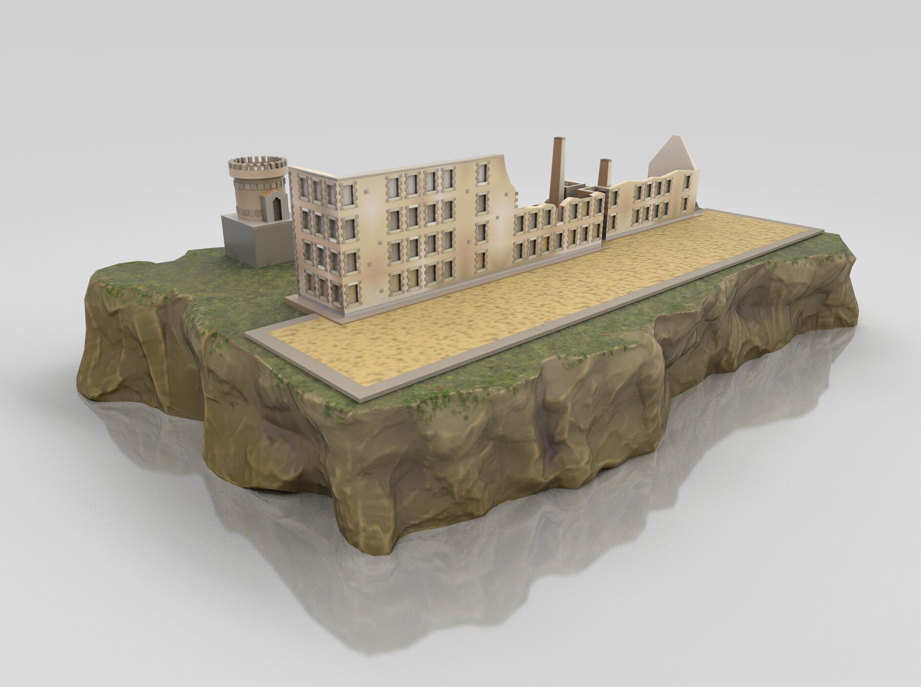
Creating Models in 3Ds max
Sculpting elements such as the clouds and terrains with texture painging in Zbrush
Vertex Painting of the 3D models in 3dsMax
Unfolding UVs in Unfold3D
Baking the Vertex painting into texture sheets and paint in Substance Painter
Animating the Models in 3Ds Max to move and expand
Composing the objects in Unity for Plattar